South River Riverbank LiDAR Survey
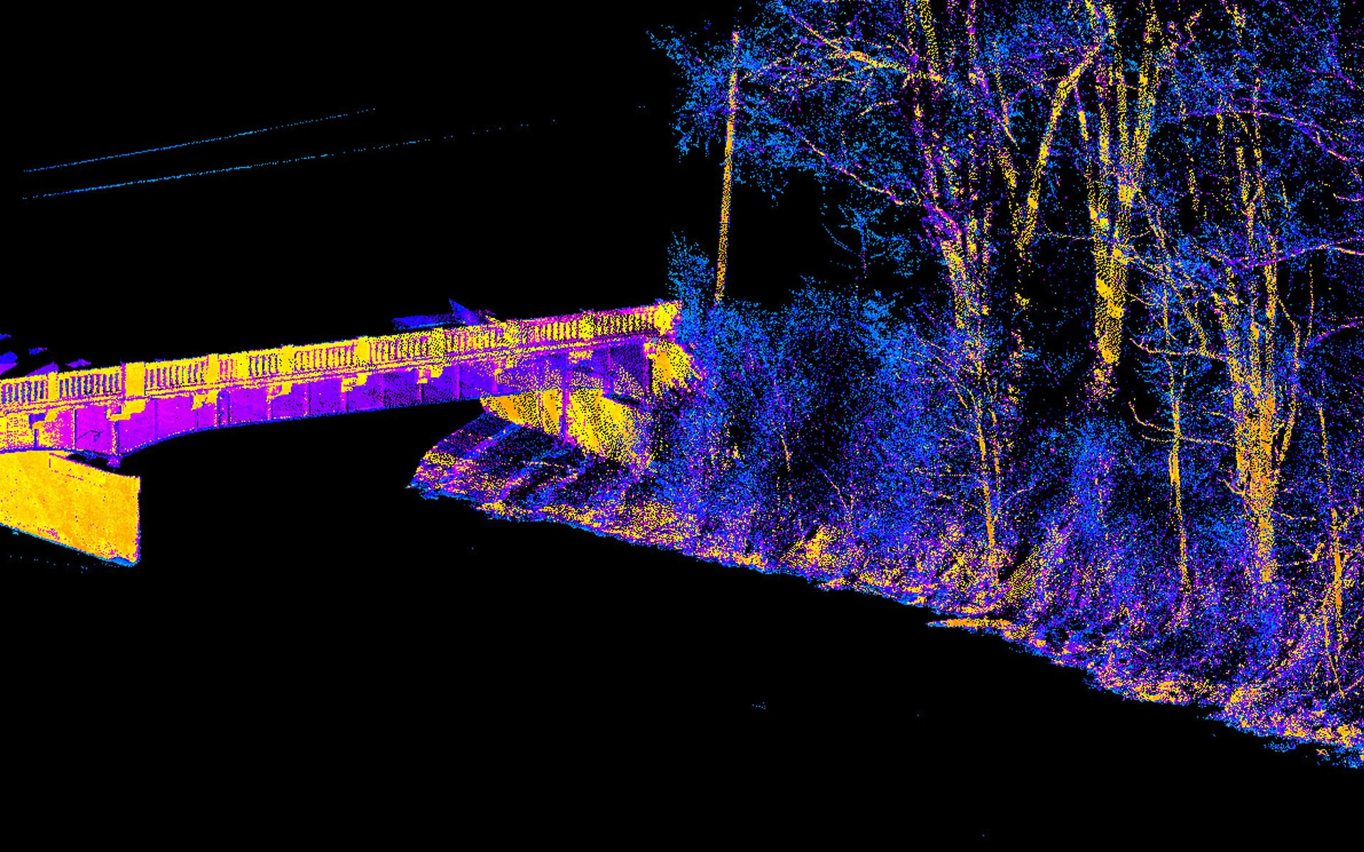
Spicer Group was hired to acquire survey-grade LiDAR data on the banks of a small river in northern Virginia. The specific area of interest was from the water’s edge to the top of bank on each side of the river. To accomplish this task, Spicer’s mobile mapping team mounted their Leica Pegasus mobile LiDAR system to a modified 14-foot jon boat and navigated nearly 5 miles along the narrow river corridor. Despite overhanging trees, low obstructions, and shallow water, Spicer’s Pegasus mobile LiDAR system was able to capture high-density LiDAR data supported by 360-degree imagery.
The portability of the mobile mapping system allowed Spicer to collect the data from a vessel-platform in a matter of a few hours. The LiDAR data was then used to develop a 1 ft. x 1 ft. Digital Terrain Model (DTM) that represented the banks of the river. The system is equipped with a LiDAR sensor measuring 1.1 million points per second. As a result, very dense data was captured, allowing for simple classification of the ground terrain data to support the DTM development.
Key Features:
Spicer Group’s unique approach to this project resulted in project completion in less than three weeks. The work was originally planned to be completed over several months using traditional surveying methods.
Due to high-resolution data, ground classification was completed with ease, allowing for the development of a DTM surface at a nominal 1 ft. x 1 ft. point spacing, resulting in a much more representative surface. Traditional surveying methods would have resulted in terrain data interpolated between survey observations around a typical 50 ft. spacing, which would have been a less accurate representation of the existing terrain.